Benchmark Problem #2: Tsunami inundation and erosion at Rikuzentakata City during 2011 Tohoku tsunami
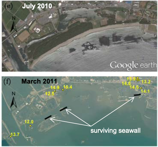
This benchmark problem is based on observations of tsunami inundation and morphology change in Rikuzentakata City and Hirota Bay during the 2011 Tohoku tsunami event. The problem has been studied extensively due to the extreme level of m orphology change and onshore damage due to inundation. An overview of damage occurring during the event and steps taken to repair coastal protective structures may be found, for example, in Udo et al. (2016). The benchmark proposed here is qualitative, in that several data sets that would be crucial to a full model evaluation have not been made publically available. A more complete description of missing data is described below.
Data Provided:
The file rikuzentakata.zip contains a variety of gridded data described in the readme file. In particular, the folder DEM contains the four levels of nested grids used in the simulations of Yamashita et al. (2022), with grid level 4 corresponding to the region shown in Fig 2.4, for which the time-dependent boundary data for surface elevation and velocities are provided in rikuzentakata.zip. The folder also contains a gridded land-use map detailing a variety of structure or land types (Fig. 2.5) and initial distribution of depths of erodible sediments.
The time dependent nesting data for the boundary of grid level 4 is also provided in the file rikuzentakata.zip in the folder "nesting data". The folder contains the data file "tehranirad_source_every_10s.txt", which is the boundary data for surface elevation and velocity at 10 second intervals for the perimeter of grid 4. The file "readme_nesting_data_hirota.pdf" describes the data file's format and an example for reading the file in fortran.
An effort will be made to provide further detail of measurements of morphology change and inundation depths prior to the workshop.

Fig 2.4: Final nested grid coverage for the Benchmark 2, Rikuzentakata, Japan case (Yamashita et al. (2022), grid level 4).

Fig 2.5: Northern portion of a color-coded land use map for use in conjunction with Benchmark 2 simulations. Colors correspond to: -1 - dark blue - buildings and houses (non-erodible); 0 - medium blue - open water (erodible); 1 - light blue - arable land (non-erodible); 2 - blue/green - paved surfaces (non-erodible); 3 - yellow-green - Forest (erodible); 4 - orange - bare ground (erodible); 5 - red - submerged breakwater (non-erodible); 6 - deep red - robust buildings (non-erodible). Descriptions of varying treatments of each land-use class may be found in Yamashita et al (2016), section 2.6).
Benchmark Problem: